

Photo by Tamas Tuzes-Katai on Unsplash
BUZZ! BUZZ!
I see black. The sound of the alarm on my phone feels like it’s coming from my dream… and upon further investigation, I realize that it’s not – it’s legit.
After opening my eyes, and remembering that I’m not at home – I’m in London, England, staying at my friend’s apartment – I become filled with excitement and joy at a) having gotten some sleep after being jetlagged for 34 hours (perhaps longer) and b) for the 3-month journey ahead of me. This is the second day of my Euro backpacking trip, and the first that I’m well rested.
As I climb out of bed, and go have breakfast, I realize that my friend – who works at a publishing house – is at work, so I’m on my own for the day.
I have lots planned (like anyone would): things to see, places to visit, attractions to partake in, you name it. My friend also texts me a LONG list of museums, gardens, palaces, parks, and other famous London landmarks that I need to check out during my stay.
After struggling to pick the “right” destination for day 1, I make a choice, and set off for my expedition, only to realize that I have no clue how to get anywhere.
My friend mentioned public transit, but where’re the stops? Are there buses? How do I get to the nearest tube station?
I start Googling all of this before she texts me a link to one app… the app that changes my life over the next 3 months of traveling solo across Europe. What was that app called? Citymapper.
By now, Citymapper is one of the – if not THE – most well known public transportation apps (alongside Google Maps), but back in 2019, it was still growing in popularity, so I had never heard of it.
Point of the story is this: when you’re travelling, it’s ESSENTIAL to have certain apps downloaded on your smartphone (and if you don’t have a smartphone, what are you doing?)
Anyways, gentlemen, for this article, we’re going to focus on navigation apps. It doesn’t matter whether you’re a novice or a seasoned backpacker – I’m here to give you nine routing apps that each and every single one of you MUST have on your smartphone (be it IOS or Android) to ensure that you have a safe, happy, expedient, exciting, and adventurous solo budget backpacking trip. Without further ado, let’s get into it.
table of contents:
1. Citymapper – The Urban Jungle Navigator
2. Google Maps – Your Pocket Travel Companion
3. Waze Navigation & Live Traffic – Your Traffic-Busting Sidekick
4. Komoot – The Ultimate Trail Exploring App
5. AllTrails – Best Hiking Path Discoverer
6. GaiaGPS – Your Outdoor Adventure Navigator
7. Roadtrippers – Your Hidden Gem Locater

Photo by GeoJango Maps on Unsplash
Gentlemen, you might’ve read my raves about Citymapper in my other articles, and if you haven’t (or have), I’m going to stress – again – how great of an app this is for you to have while travelling.
If you don’t have Citymapper and you plan to head off to a big city like NYC, L.A., Chicago, London, Paris, Barcelona, Rome, or wherever, you MUST get this app. It’s essential if you’re going to use public transit, and it even connects you to other apps like Uber, and Lyft (which I also recommend downloading… more on this in a bit).
Citymapper helps you get to your desired destination by providing transport options using live timing (meaning that it updates you on public transit closures, delays, or power outages, so you can plan accordingly).
Connecting to local public transit schedules, Citymapper tells you when the next mode of transportation is coming, and – as you’re following its instructions – notifies you of when to get off at a nearby stop. In essence, it’s a Google Maps tailored for public transit.
In addition to showing bus and subway routes, it also gives you free options like walking and biking. Furthermore, Citymapper will give you taxi, Uber, and Lyft mapping & time estimates.
This is must-have app for backpacking in major cities. Small towns don’t have it (since many of them don’t offer public transit), which is why I recommend having backup apps like Uber and Lyft downloaded on your phone.
Regardless, you’ll want to have this app for cities in which it works. It’s available on IOS and Android.
Another great app that I touched upon and that you’ll want have downloaded on your phone is…

Photo by GeoJango Maps on Unsplash
This app most of you are familiar with. It’s an all in one navigation tool, and some prefer it to Citymapper (which I can’t argue with as it delivers all the necessities).
Whether you’re travelling by foot, car, bike, bus, train, plane, or taxi, you name it & this app has you covered. It also connects you with business reviews, live updates, photos, menus, and contact info, so you can research your destination (i.e. if you’re looking for a store, café, or restaurant) and decide – in advance – if it’s where you want to go.
Google Maps also allows you to save charts and use them offline, where you could select areas of the plot and download data from them. Now that you know this…
You might wonder why you’d need Google Maps if you have Citymapper or vise versa, and the answer comes down to personal preference. Citymapper is more personalized, whereas Google Maps offers an easy-to-use, all-inclusive interface.
I recommend having both – provided that you have the space on your phone – since one app might work well for certain situations, while the other app might come in handy for alternative circumstances (i.e. if you’re in a small town where Citymapper doesn’t operate, you can use Google Maps). Both apps are available for IOS and Android.
Another great app – also owned by Google – to have on hand is…

This app benefits backpackers renting a car or motorbike. As such, the advantage that Waze offers over Google Maps is that it provides you with live traffic & obstacle updates, and redirects you to the fastest course en-route (without asking for your permission).
This benefit is indispensible because it’s designed to minimize your time on the road, and get you to your destination as quickly as possible. This means that Waze can help you spend more time in the cities and sites you want to explore, and less time getting there.
While Waze is also available offline, its primary benefits disappear in this mode since the app is based on a crowdsourcing engine – where drivers report traffic, speed traps, collisions, etc. –, which requires an Internet connection. This means that – while you can use the off-grid version – its value comes when you’re connected to the internet.
Waze is available on IOS and Android (it comes pre-installed on the latter); is compatible with Android Auto and Apple CarPlay.
In terms of public transit, however, Waze offers nothing, so stick to the first two apps unless you plan to drive.
Now let’s move onto the must-have apps for hiking and trail exploring, starting with…
Photo by Stephen Ellis on Unsplash
It’s Aug. 30th, 2018, and I decide to take a drive up to Rattlesnake Point – a conservation area on the Niagara Escarpment –, about an hour from where I live in Toronto, Ontario.
Once I get there, I decide to take a hike on the longest trail the park offers: the Nassagaweya Canyon Trail. It’s 4.7 km one way, so the round trip winds up being 9.4 km or 5.85 miles.
It’s a great experience, and after hours of walking, I am exhausted. Around me is nothing but greenery and dead silence – maybe a couple of insects chirruping, and that’s it.
I check my phone, and realize I have no bars or cellular data access. “Great”, I think. “I’m literally in the middle of nowhere.”
I also don’t have any more H2O in my water bottle (my mistake for not buying a water bladder or hydration backpack), nor do I have snacks (I’ve eaten them all). That’s when I realize I should’ve planned ahead – there’re apps that help you plan hiking routes down to the last detail, and I didn’t think to download one.
Lesson learned, and I still had to spend several hours hiking up that trail. It wasn’t until 5:30pm that I returned to the parking lot, where I could purchase food and / or refill my water bottle (as well as take a leak). The experience was worth it, but only for the views. Next time, I’m downloading one of those apps.
Gentlemen, as backpackers, you’re going to be doing A LOT of hiking (maybe also cycling – keep in mind bicycle sharing systems). When it comes to having the best guide for trails, Komoot is an app tailored to do just that, offering hiking and bicycle routes with detailed terrain info & data.
With Komoot, you leverage community knowledge and recommendations to bring your adventures to life. The app lets you find the ideal route for your sport, be it hiking, biking (mountain or road), jogging, touring, you name it. It also offers turn-by-turn voice navigation so you don’t have to look for sparse and unclear trail direction signs.
Komoot offers offline maps so you can download your planned adventures, and save topographic maps, allowing you to navigate your trail(s) even when you have no cellular data or Internet (G*d I needed this app!). As I mentioned earlier, Komoot offers community recommendations (red spots on the map), so you’re not alone when figuring out the best trails and hiking spots to check out. You too can contribute photos and tips to the community, allowing you to become a local expert (or Pioneer as the app calls it).
Now the question you might be asking is, “Is this app free?” Well, gentlemen, yes, and no. The free part occurs when you download the app, and get your first region. You see, the app lets you explore between single regions, region bundles, or the World Pack. Once you pick your first region, every subsequent region is $3.99 USD, or – if you pick a region bundle – $8.99 USD. The World Pack – which gives you worldwide navigation on your hikes and bike rides – is $29.99. Keep in mind these are single payments, not monthly subscriptions; once you pay, the packages are yours forever.
If you own an Apple Watch, you can sync it with the app to get directions, distance, and real-time speed. If you’re a fitness freak – like me – you can also connect Komoot to the Apple Health app to share your time and distance data for all hiking, biking, and running activities.
That’s right, Komoot offers it all, though it isn’t without competitors, the most famous of which is…
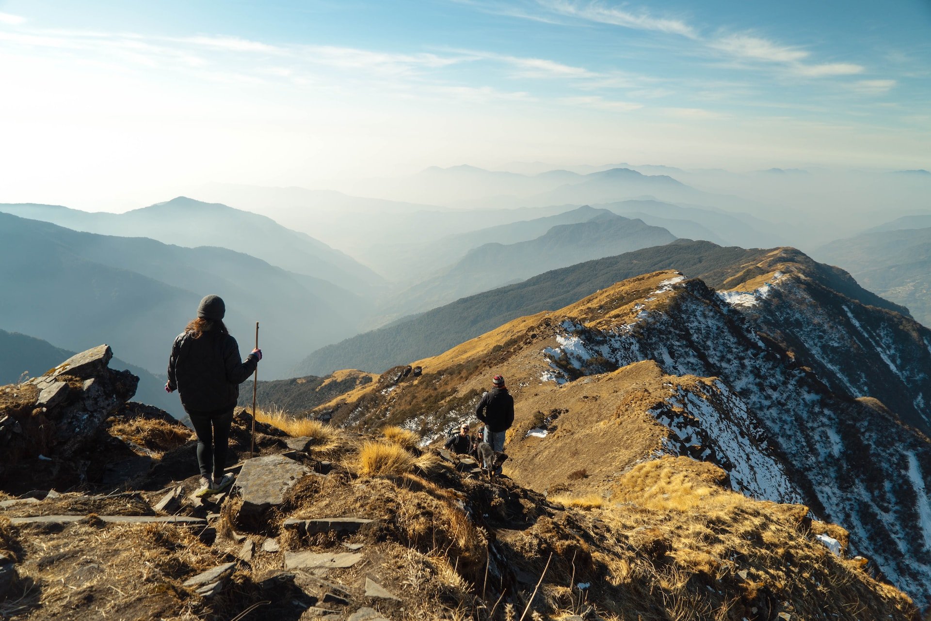
Photo by Galen Crout on Unsplash
Much like its predecessor, AllTrails: Hike, Bike & Run is an outdoor companion & guide app. It too connects you with the community – as well as your Health app –, which provides reviews, and inspiration to help you plan, live, and share your outdoor adventures.
Providing 400 000 trails worldwide – based on location, interest, and skill level –, AllTrails allows you to: get in-depth trail info & GPS driving directions, grow your community, and share your exploits on Facebook, Instagram, and WhatsApp.
The app offers trails for workouts, hikes, walks, mountain bikes, trail runs, and casual cyclists. It provides offline maps, wrong-turn alerts, and safety as well as planning benefits.
The main advantage that AllTrails has over Komoot is its route planner details like satellite weather, air quality, pollen, and pollution. It also suggests 3D top and trail maps, as well as a way to keep loved ones in the loop with Lifeline (a benefit that allows you to select up to 5 safety contacts that’ll be able to track you’re planned start & end time / date, you’re starting & ending location, total tracked distance & elevation gain, and your live location on a map plotted against your planned route).
If you hate ads, you can remove them by subscribing. The first week is free, and then after that the pro membership is $35.99 annually (or $2.99 / month).
AllTrails is available on IOS 15.0 and newer as well as Android 8.0 or later.
Moving onto…

Photo by Paul Pastourmatzis on Unsplash
You might be wondering, “Another hiking app?” Yes gentlemen, GaiaGPS is worth noting for its flexibility in letting you create your own routes, as well as for measuring distance, altitude, and elevation change.
It also provides camping benefits (if you plan to lodge outdoors), such as site reservation, public and private land boundaries and USFS maps, and waypoints so you can mark campsites to find at night or on future trips.
You can also view wildfires, avalanche forecasts (using SNOTEL data), share maps, mark water sources, view trail difficulty, direction, & conditions, as well as track your location (even without cell service). Many consider this app to be the best for overlanding expeditions.
The app is compatible with Apple CarPlay, so you can display your maps, routes, and features on your dashboard (if you’re driving). It’s also compatible with Android devices (tablets & phones).
Now that we’ve got those out of the way, let’s move onto…

Photo by Leio McLaren on Unsplash
Gentlemen, this next app is for Canada and U.S. travel only. It’s also for those of you looking to do a road trip.
Allowing you to build a route and then use turn-by-turn navigation to get to your destination, Roadtrippers offers you methods to save places you love, and then sync them across your devices. You can also use Apple CarPlay to navigate on your dashboard.
This app is available for IOS and Android users.
I know, that one was short and sweet, right?
Now for those of you looking to backpack mountains, we’ve got…

Photo by Clay Knight on Unsplash
Guys, if you plan to hike and identify mountains, then this app is your wingman. It uses your smartphone’s camera and AR tech. to display the names and elevation of nearby (and faraway) summits, meaning you never have to Google mountaintop information ever again.
You can 3D map your hike using the app’s high-precision terrain modeling, which includes trails, peaks, passes, viewpoints, and parking.
You can also use the app to discover and identify over a million mountains and hills worldwide, getting a detailed report on each of them including altitude, topography data, mountain range, photos, Wikipedia articles, and insights about what park or reserve the terrain belongs to. Sounds cool, huh?
That’s not all, though! The app helps you plan hiking routes through its 3D Maps network of hiking trails and pathways. It evaluates the distance you plan to hike, as well as the route’s elevation outline to estimate your completion time.
You can track and share your hikes and adventures using GPS tracker, which gives you stats such as elevation gain, and walking distance. You can also important and export GPX files (text documents with geographic info) within the app.
As with our other app suggestions, you can use it offline or for off-grid journeys as the data is downloadable. You can also import old photos from previous hikes to discover what peaks you were on prior to downloading this app.
Peakvisor is free to download, though if you want to use it without limitations, you’ll need to get PeakVisor Pro, the premium subscription, which you can pay for on a monthly or annual basis. The subscription tiers go like this:
· One month of hiking (and skiing) is $3.49.
· One year of hiking (and skiing) is $29.99.
· Hike, ski, and cycle forever: $89.99.
This app is compatible with IOS 13.0 or later as well as Android devices. It is also available in the following languages:
· English
· Catalan
· French
· German
· Italian
· Japanese
· Korean
· Polish
· Portuguese
· Russian
· Simplified Chinese
· Slovak
· Spanish
· Traditional Chinese
Alright, gentlemen, time for our last recommendation, which is…

Photo by Alex Perez on Unsplash
This app is a bit of an anomaly on our list since there’s no free version. It’s simply a one time fee of $7.99, which – compared to the premium subscription costs for some of our prior recommendations – is not a lot.
The real question is: why do you need this app? Well, gentlemen, Spyglass is an offline GPS aimed at the outdoors as well as for road-navigation.
It comes LOADED with tools that include binoculars, heads-up display, a high-tech compass, a gyrocompass, a GPS receiver, a waypoint tracker, a speedometer, an altimeter, a Sun, Moon, & star finder, a gyro horizon rangefinder, a coordinate converter, a sextant (a navigation instrument for measuring the angular distance between two objects, mainly used for celestial navigation), an inclinometer, an angular calculator, and a camera.
This is another app that saves your preferred spots and waypoints for future navigation while using real-time AR to display GPS info, measure distances, sizes, angles, and more. As I mentioned earlier, you also have access to offline maps, meaning you can use the app on high altitudes – even on airplanes.
If you’re super into navigation, and want to calibrate your compass for top accuracy, you can track the positions of stars, the Sun, and the Moon with arc second precision (so SUPER exactness). You can also measure distances to objects in real time with a rangefinder reticle evocative of sniper sights.
For all of you stargazers out there, this is a must-have app. It enhances your backpacking experience like crazy, and it gives you additional activities if you love navigation and exploration. It’s available for IOS and Android.
And there you have it, gentlemen - my rant for the 9 must-have navigation apps in 2023 for your backpacking travels.
You might be thinking to yourself, “Do I really need all of these?” or, “Is that it? Aren’t there more options?”
The answer to those questions is – as usual –: it depends.
Based on your goals, skills, and interests, these 9 apps (or perhaps even just a few of them) might be enough for you. For some of you, I may have only hit the tip of the iceberg.
I’m more than happy to write future blog posts on other apps that you feel need more coverage and promotion, so please feel free to comment down below or on our social media channels (Facebook, Instagram, or Twitter), and share your thoughts on and recommendations for navigation apps that we either forgot to include or omitted.
We’re going to make more app lists like this – not just on navigation, but for others –, so please feel free to offer up suggestions and requests in your comments, and consider liking our social media channels on the aforementioned platforms so that you can receive more articles to help you backpack the world with grace, resilience, and style.
Until next time, gentlemen, enjoy yourselves out there – be it on your travels or at home – stay safe, and have a great week!